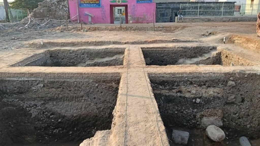



MoU was signed on August 27 for use of LiDAR surveys, GIS Mapping, Remote Sensing, Ground Penetrating Radar (GPR) and other technologies to help locate structures that may have been concealed by vegetation overgrowth
LiDAR survey to look for Lakkundi’s hidden monuments
📅 Published: September 1, 2026 |
📂 Category: India National